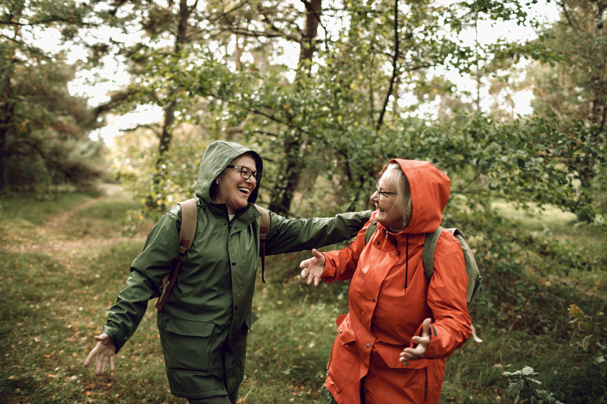
With a long coastline, gorgeous mountains, countless lakes and forests covering much of its surface, Sweden is made for hiking. No matter where in the country you find yourself, you’ll never be far from a trail.
Just about every province in Sweden has at least one long-distance hiking route that showcases the region’s most beautiful and interesting nature. These take anywhere from a few days to a month to through-hike but are broken into sections with easy entry and exit points. Most of the long-distance trails have shelters, huts, and/or mountain stations where you can overnight and in many cases buy or prepare food.
Sweden’s Right of Public Access (Allemansrätten) gives everyone the right to enjoy nature freely, as long as you comply with a few basic rules including leaving nature as you found it and not disturbing residents or property. Excellent public transportation puts many trails, even seemingly remote ones, within reach without a car.
Kungsleden: best long-distance Arctic wilderness hike
Up to 280 miles (450 km), 4-31 days, difficulty varies
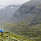
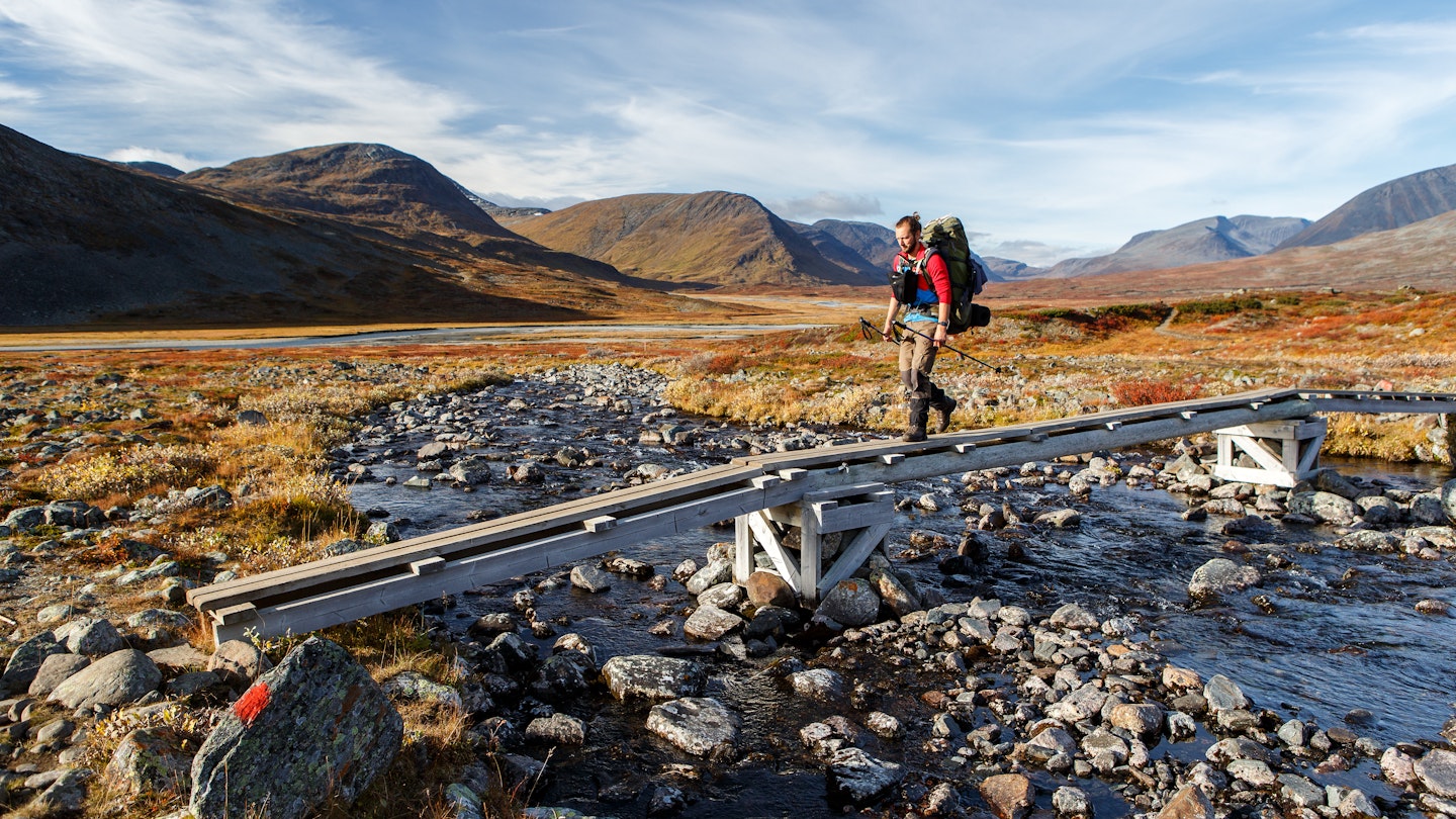
For spectacular alpine wilderness, you can’t beat Kungsleden (the King’s Trail), which traverses northern Sweden from Abisko to Hemavan, passing through four national parks and a variety of stunningly beautiful landscapes. Some sections require significant hiking experience, but others are suitable for novices with proper clothing and equipment.
If you want to hike just a part of Kungsleden, the northernmost section from Abisko to Nikkaluokta (66 miles/108km) is a great option. Scenery includes birch forests, alpine plateaus, green valleys, flower-filled meadows and Sweden’s highest mountain, 6879-foot (2097m) Kebnekaise. Allow seven days, plus an extra day if you want to summit Kebnekaise.
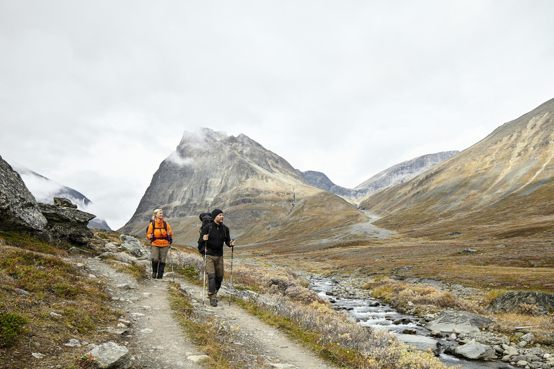
The Jämtland Triangle: best balance of wilderness and comfort
29 miles (47km), 3 days, moderate
Suitable for all levels, this popular route connects three mountain stations at Storulvån, Blåhammaren, and Sylarna in Jämtland, passing through birch forests and alpine meadows and across bare rock faces and gurgling brooks, with mountains rising dramatically in the distance. Since accommodations and dining are available at each station, you don’t have to worry about carrying a lot of gear, leaving you free to concentrate on enjoying the scenery, which is spectacular. Be sure to book lodging and meals at the mountain stations well in advance.
St Olavsleden: best blend of nature and history
360 miles (580km), 1-29 days, difficulty varies
Scandinavia’s answer to the Camino de Santiago, this pilgrimage route crosses Sweden and part of Norway from Selånger near Sundsvall to the grave of Norway’s patron saint, King Olav Haraldsson, at Nidaros Cathedral in Trondheim. After claiming the Norwegian crown in 1020 and attempting to introduce Christianity, Olav was driven into exile. In 1030 he landed on Sweden’s Baltic coast, raised a cross in Jesus’s name and walked all the way to Norway to reclaim the throne but was killed in battle a few weeks later.
St Olavsleden follows in the saintly king’s footsteps on a beautiful journey filled with sites of natural and historical interest. If you only want to hike part of the trail you can easily mix walking days with road or rail travel, or do a day hike on almost any one of the stages.
Skuleskogen: best hike for interesting geology
4-7.5 miles (7-12km), 3-6 hours, hard
Since the end of the last Ice Age, the shoreline of Sweden’s High Coast has risen about a third of an inch (8mm) per year — about 984 feet (300m) overall — making it both scenic and a unique example of geological forces at work. A highlight of the region is Skuleskogen National Park, whose centerpiece is Slåttdalsskrevan, a deep, steep-sided chasm only 23 feet (7m) wide. From the park’s south entrance, head north on the Högakustenleden long-distance trail. You can stay on it straight to Slåttdalsskrevan or detour over Slåttdalsberget for fantastic views of the forest, coast and islands. From Slåttdalsskrevan you can either turn around and head back or, for a longer loop hike, continue north and turn off Högakustenleden to follow the coast back to the park entrance. Uneven terrain and varying elevations make this a fairly demanding hike.
Tyresta: best wilderness near Stockholm
Distances vary, 1 hour to a full day, easy-moderate
For wild nature within easy reach of Stockholm, look no further than Tyresta National Park, the largest expanse of virgin forest in southern Sweden and less than an hour from the city center by public transportation. Here, knotty pines and towering firs rise above rocky ground covered with moss and lichens in a mystical landscape dotted with sparkling lakes. At the Tyresta By entrance, you’ll find a visitor center and the starting point for various trails, including a 3-mile (5km) trail that’s suitable for strollers. A longer route combines several shorter trails into a loop around several of the park’s lakes.
Bohusleden: best long-distance wilderness hike in southern Sweden
Up to 230 miles (370km), 3 hours to 27 days, moderate-hard
Bohuslän, north of Göteborg, is known as a great coastal destination, with picturesque towns clinging to rocky shores. This long-distance trail showcases a different side of the region, meandering through nature reserves and other scenic areas in the interior from Lindome to Strömstad.
The southernmost sections, around Göteborg and Kungälv, can be done as undemanding day trips, with easy access by public transportation. As you continue north, the trail gets more remote and challenging but rewards the effort with deep forests, secluded lakes, high cliffs and panoramic vistas. The sections through the Svartedalen valley and across the Kynnefjäll plateau are particularly wild and scenic.
Stendörren: best for easy archipelago access
Distances vary, 1-4 hours, easy
On the Södermanland coast south of Stockholm, the stunning Stendörren Nature Reserve is one of the easiest places to get out into the archipelago on foot. Wooded trails and pedestrian suspension bridges lead to small islands with smooth rocks sloping into the sea — perfect for a picnic or a refreshing dip. From some of the outer islands, you can watch boat traffic passing by and perhaps navigating the narrow gap between the mainland and the island of Krämpö. A visitor center at Aspnäset (May to September) has exhibits about the Baltic Sea, a panoramic viewing tower and a 1.5-mile (2.5km) interpretive trail.

Omberg: most diverse day hike
Distances vary, 2-9 hours, easy-moderate
Steeped in history and legend, craggy Omberg rises 862-foot (262m) from the eastern shore of Sweden’s second-largest lake, Vättern. A hike to its summit, Hjässan, is one of many fine options in the wonderfully diverse Omberg Ecopark, once a private royal hunting ground and later a state forestry school. If you’ve got time, a full-day hike on the Östgötaleden loop is a great way to experience the park’s varied nature and many of its points of interest. Starting at the Ecopark Center in Stocklycke, the circuit follows the lakeshore north, then turns inland and winds through wildflower meadows, moors and forests, passing caves, ancient hill forts, a 900-year-old quarry and medieval monastic ruins, before circling back along the shore to Stocklycke.
Klintkustleden: best for dramatic coastline
18.6 miles (30km), 1-2 days, easy-moderate
One of Sweden’s newest organized hiking trails, this route traces the northwest coast of Gotland from Björkume Nature Reserve north of Lummelunda to Hallshuk, the island’s northernmost point. The trail passes through fishing villages and varied scenery, including beaches, six nature reserves, flower meadows and secluded bays. Highlights along the route include Gotland’s highest rauk (sea stack), near Lickershamn, and Häftingsklint, a 98-foot (30m) cliff with sweeping views. You’ll also likely see plenty of birds along the way — with luck, you might even spot a white-tailed eagle soaring over the cliffs.

Prins Bertils Stig: best semi-urban coastal walk
11 miles (18km), 5-6 hours, easy
The beloved uncle of King Carl XVI Gustaf, Prince Bertil was Duke of Halland until his death in 1997. Dedicated in his memory, this walking path in his province is an enjoyable ramble through varied scenery in and around Halmstad on Sweden’s southwest coast. Starting at the 17th-century Halmstad Castle, the trail runs from the city center to the sea, then winds along the coast past beaches, cliffs, small boat harbors and sites of cultural and historic interest to Tylösand, where Prince Bertil and his wife, Princess Lilian, spent several summers. From there the path turns inland, passing golf courses before reaching the Möllegård Nature Reserve. Most of the trail is wheelchair-accessible, and there are bus stops at various points along the route.
Kullaberg: best for rugged coastal scenery
10.6 miles (17.2 km), 8-9 hours, moderate-hard
Northwest of Helsingborg, the triangular Kullaberg peninsula slopes steeply toward the Öresund strait and Skälderviken bay. For a beautiful full-day adventure, hike the section of the Kullaleden trail between the idyllic seaside villages Mölle and Arild, through deciduous forests and along the coast via the tip of the peninsula, where you’ll find Sweden’s most powerful lighthouse and a visitor center about the Kullaberg nature reserve. If the sea is calm, you may even spot seals and porpoises.
You can hike the trail in either direction, but the stretch along the north side of Kullaberg (between Arild and the lighthouse) is more challenging. If you have the time and energy, there are numerous possible detours down to the shore (and back up).
You might also like:
Sweden's most stunning national parks: from Lapland to lowlands
Do I need a visa to visit Sweden?
Everything you need to know about getting around Sweden